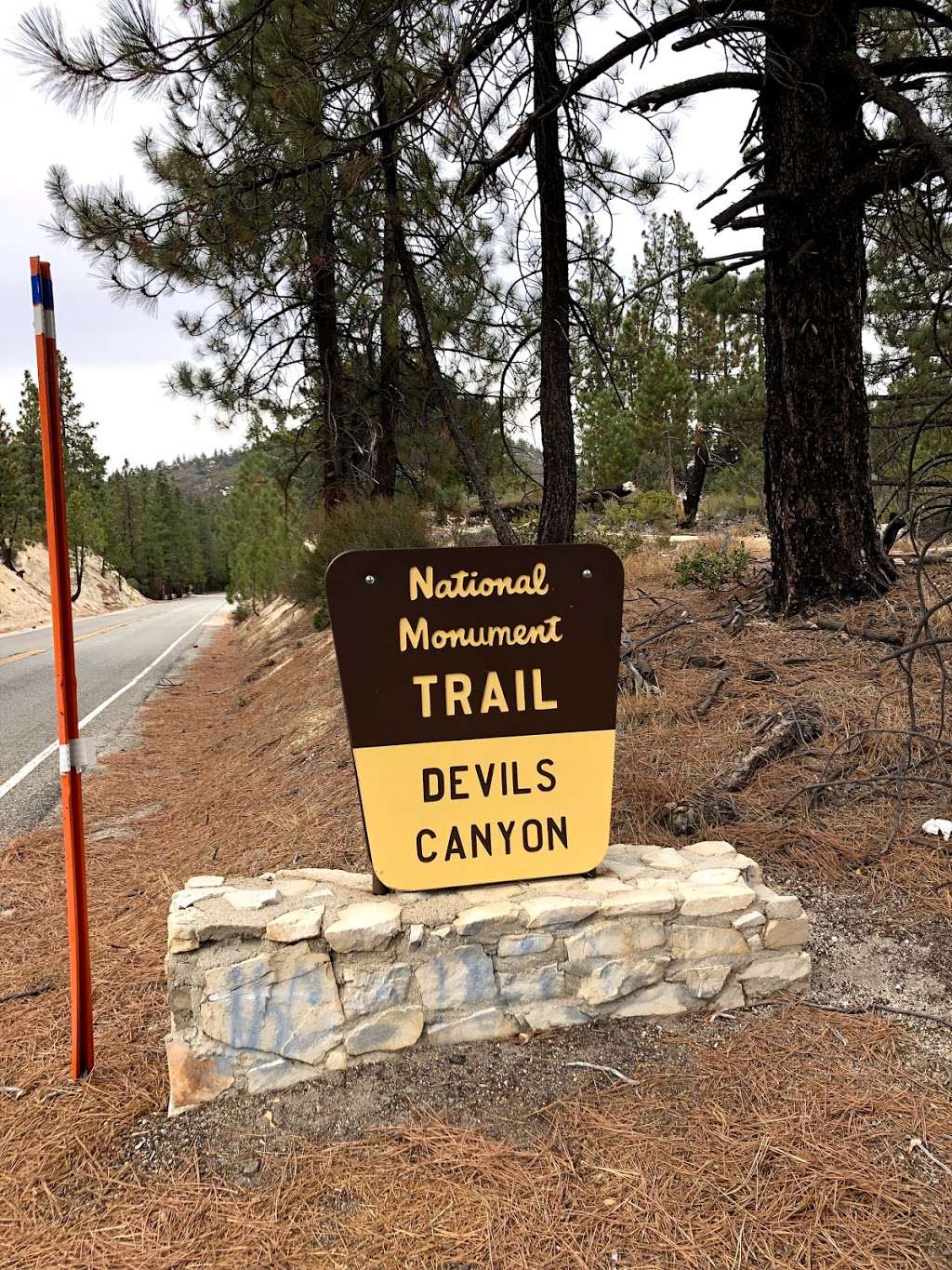
Devil's Canyon Trailhead
Contact and Address
| State: | California |
|---|---|
| Address: | Angeles Crest Hwy, Palmdale, CA 93550 |
| Zip code: | 93550 |
| Phone: | (626) 574-1613 |
| Website: | https://www.fs.usda.gov/recarea/angeles/recreation/hiking/recarea/?recid=41854&actid=50 |
Reviews
-
Lara P.
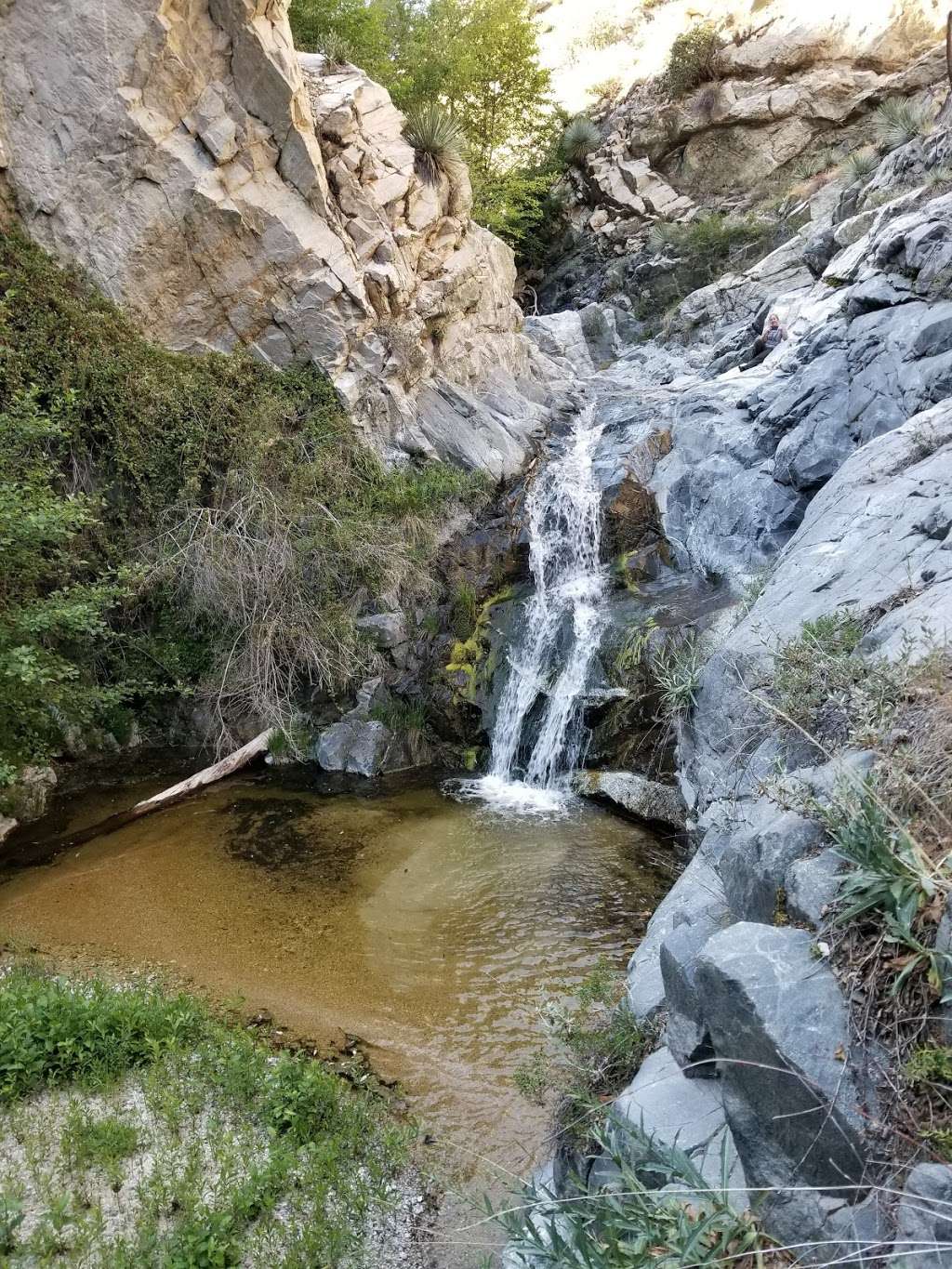
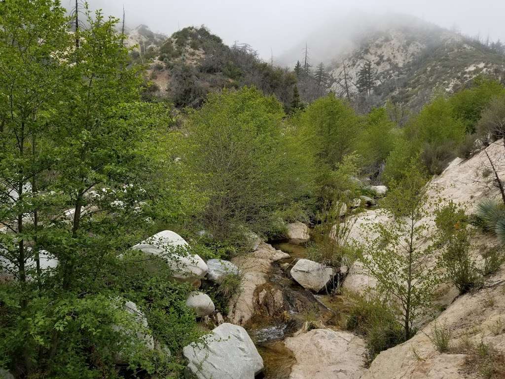
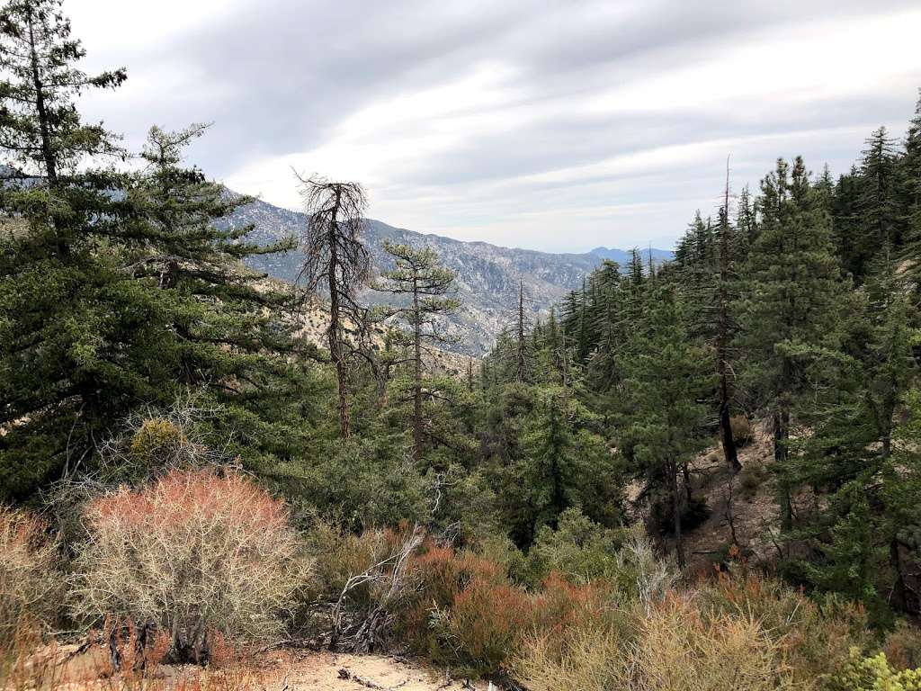
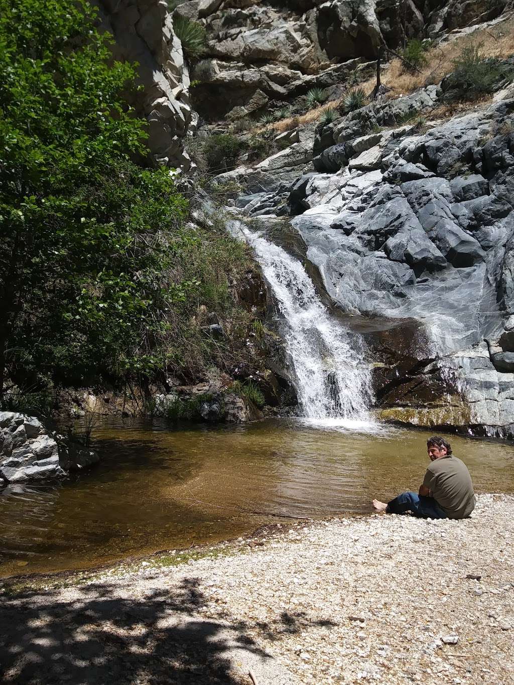
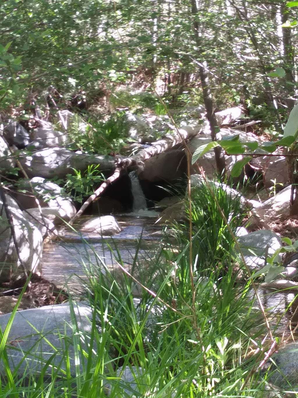
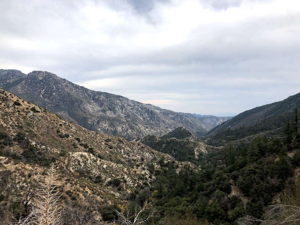
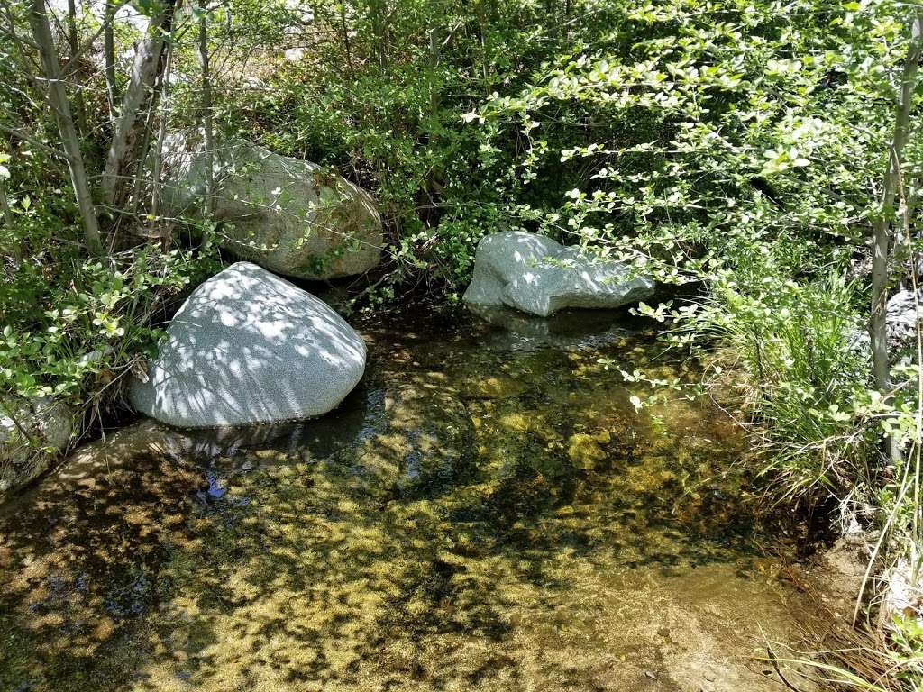
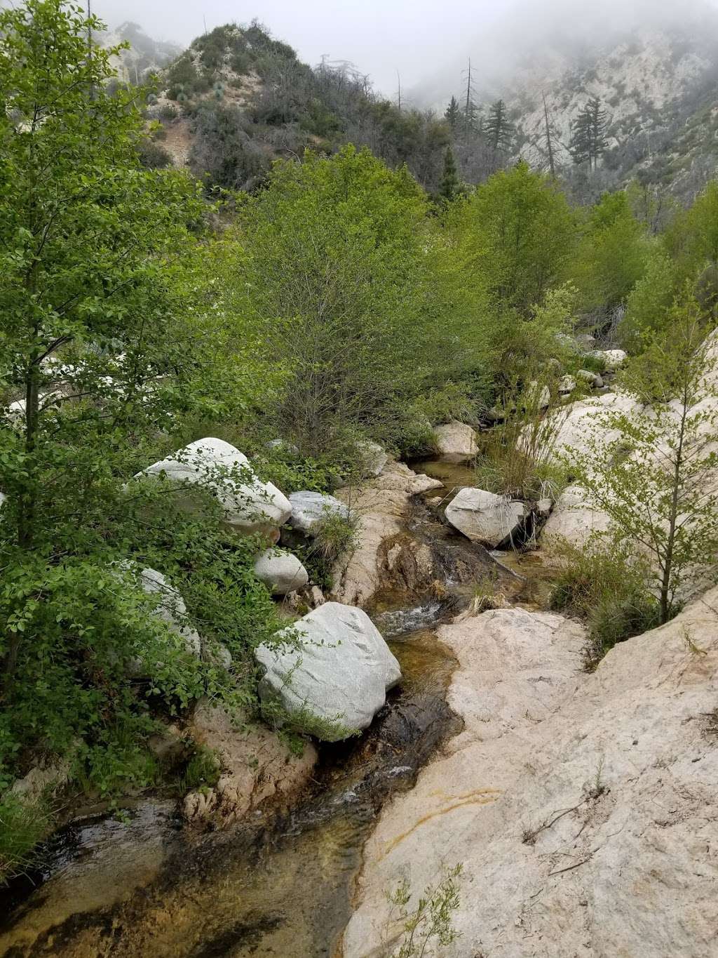
(April 5, 2018, 6:31 pm)It’s a lot better than I expected. I was there shortly after there had been some decent rainfall, so there were quite a few streams with watercress growing in them. The falls are really beautiful. It’s strange that the city is so close, it’s a great way to escape the rat race. We went all the way to the bottom of the canyon, and of course going downhill was not difficult. Hiking back up, on the other hand, was a bit of a challenge for someone who isn’t a seasoned hiker. It was worth it, though. The further down you go, the more beautiful it gets, and you see things that you don’t expect.
I recommend this trail, but as I said previously, going downhill is easy, so know your limitations , because the hike back up gets kind of hard if you don’t hike on a regular basis.Devil’s Canyon is a great way to spend a day (and it will take you a day to go to the bottom and come back up, unless you’re really athletic) reconnecting with nature. -
Angela Mueller
(November 26, 2017, 5:23 am)Easy to follow the trail until after the large campsite. Then it's a thin single-track trail. I was able to follow it but not all the way to the waterfall, and had to turn around. Clean, with a few instances of graffiti. Pick up any trash you pass by to keep it that way for everyone!
Questions & Answers
What is the phone number for Devil's Canyon Trailhead?
The phone number for Devil's Canyon Trailhead is (626) 574-1613.
Where is Devil's Canyon Trailhead located?
Devil's Canyon Trailhead is located at Angeles Crest Hwy, Palmdale, CA 93550
What is the internet address for Devil's Canyon Trailhead?
The website (URL) for Devil's Canyon Trailhead is: https://www.fs.usda.gov/recarea/angeles/recreation/hiking/recarea/?recid=41854&actid=50
Photos of Devil's Canyon Trailhead
Devil's Canyon Trailhead On the Web
Angeles National Forest - Los Angeles River Ranger District
The Los Angeles River Ranger District Office is located at 12371 N. Little Tujunga Canyon Road, San Fernando, CA 91342. Mike McIntyre, District Ranger
Angeles National Forest - Santa Clara/Mojave Rivers Ranger ...
Operational Hours: The Santa Clara/Mojave Rivers Ranger District Office is open Monday Through Friday - 8 a.m. to 4:30 p.m. Fees Fees for individual recreation facilities are indicated on the web page for that individual site. For general information and a fee schedule for the Littlerock Recreation ...
The Mt. Wilson Trail follows an old Indian trail and as ...
The Mt. Wilson Trail follows an old Indian trail and as ...
Best Waterfalls and Swimming Holes in Los Angeles, CA, United ...
Reviews on Waterfalls and Swimming Holes in Los Angeles, CA, United States - Sturtevant Falls, Switzer Falls - USDA Forest Service, Azusa Fish Canyon Falls, Eaton Canyon Natural Area, Monrovia Falls, Hermit Falls, Devil's Canyon Trail, Solstice…
The Best 10 Hiking near Parker Mountain in Acton, CA - Yelp
Best Hiking near Parker Mountain - Red Rover Mine Trail, Parker Mountain, Barrel Springs Trail, Indian Canyon, Trail Canyon Falls, Devil's Canyon Trail, Prime Desert Woodland Preserve, Bouquet Falls, Sturtevant Falls, Devil's Punchbowl Natural…
Best Hiking near Acton, CA 93510 - Yelp
Reviews on Hiking in Acton, CA 93510 - Red Rover Mine Trail, Parker Mountain, Vasquez Rocks Natural Area Park, Barrel Springs Trail, Indian Canyon, Trail Canyon Falls, Devil's Canyon Trail, Prime Desert Woodland Preserve, Bouquet Falls, Sturtevant…
Recently viewed
- Sunoco Gas Station - 45 W Laurel Dr, Somers Point, NJ 08244, USA
- Junghoon Paik, LAC - 408 S Beach Blvd, Anaheim, CA 92804, USA
- Inquire Solutions Inc. - 9270 Davis Dr, Lorton, VA 22079, USA
- South El Monte High School - 1001 Durfee Ave, South El Monte, CA 91733, USA
- West Chester Pk & Rock Ridge Rd - Edgmont Township, PA 19073, USA
- First Christian Reformed Church - Des Plaines, IL 60018, USA
- Aircraft Hardware West - 2180 Temple Ave, Long Beach, CA 90804, USA
- Killowatt Crew Lighting Services - 7737 Race Rd, Jessup, MD 20794, USA
- Kuo Ching Lo, AC - 15766 La Subida Dr, Hacienda Heights, CA 91745, USA
- Fashion Group Inc - 821 Capital Centre Blvd # 821G, Upper Marlboro, MD 20774, USA
- North Hunterdon Dental Associates: Licato Jr Frank DDS - 1630 NJ-31, Clinton, NJ 08809, USA
- Select Lawyers - 3245 Freemansburg Ave, Easton, PA 18045, USA
- KW Commercial Leasing - 950 State Ave, Kansas City, KS 66101, USA
- Reeza B. Biala, PNP - 1403 Lomita Boulevard Suite 100, Harbor City, CA 90710, Harbor City, CA 90710, USA
- Kindred Integrative Veterinary Services - 80-B Gravel Pike Suite 200, Red Hill, PA 18076, USA
- Phil's Automotive - 3284 Main Rd E, Emmaus, PA 18049, USA
- 64th/Joliet - Countryside, IL 60525, USA
- Wilmot Park - Deerfield, IL 60015, USA
- Auto Touch Faucets Inc - 1451 Coble Ave, Hacienda Heights, CA 91745, USA